
“Magellan's expedition changed everything, it was the explosion of colour in Europe”

History leaves behind an infinite number of traces left by mankind. Every historian prescribes certain developments as turning points that have had a decisive influence on the course of time. In this respect, experts rarely agree, and one of these links is undoubtedly the development of navigation systems. These not only boosted knowledge and trade on a global scale, but also completely modulated the human worldview.
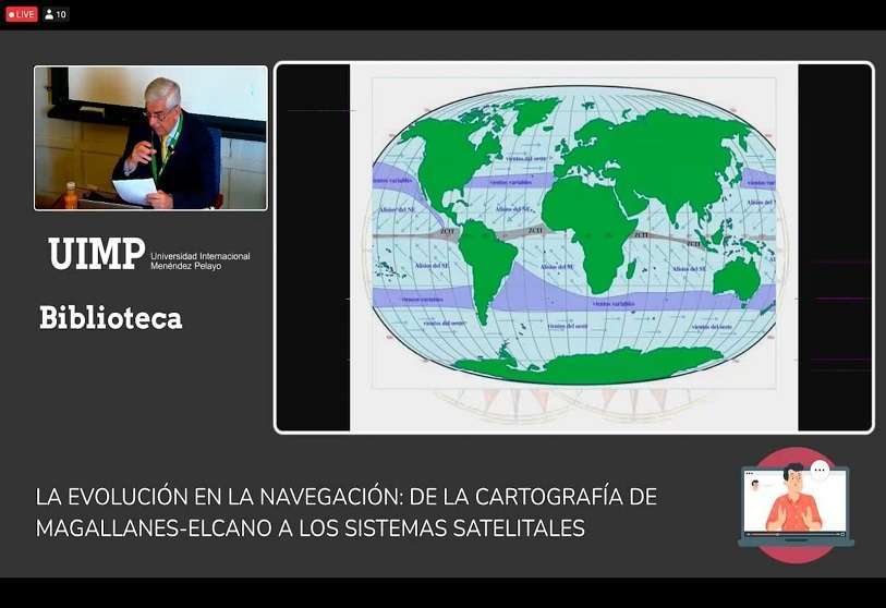
To explore this subject in depth, the Menéndez Pelayo International University (UIMP) in Santander on Thursday kicked off 'The evolution of navigation: from Magellan-Elcano's cartography to satellite systems', a two-day seminar to analyse in detail the scientific advances in cartography and their historical context, with special emphasis on the figures of Ferdinand Magellan and Juan Sebastian Elcano. The summer course has enjoyed the invaluable collaboration of the Chile-Spain Foundation (FCE).


The seminar was launched by the Rector of the University, María Luz Morán Calvo-Sotelo; the President of the Chile-Spain Foundation, Emilio Gilolmo; the President of the Plaza Porticada Association, Elena García Botín; and, lastly, the Chilean Ambassador to Spain, Roberto Ampuero. The latter underlined the fluid relations between Santiago de Chile and Madrid, as well as the historical roots that emanate from the current ties. Ampuero took the opportunity to launch a message of unity addressed to both sides of the Atlantic.
The first day comprised two round tables made up of a multitude of experienced speakers. The inaugural lecture was given by Rodrigo Moreno, full member of the Chilean Academy of History and corresponding member of the Royal Academy of History, and historian María Antonia Colomar, winner of the 2017 National Prize of the Spanish Geographical Society, both introduced by José Luis de las Heras.

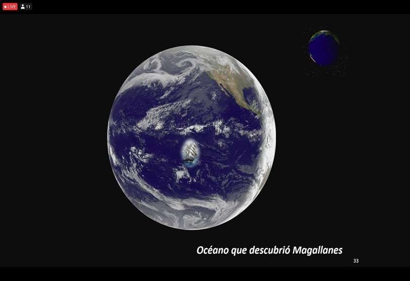
"The sea is the one that has allowed us to dream beyond the line of horizons", said Rodrigo Moreno in the first contact of the course. For the Chilean academic, maritime exploration has played "a preponderant role" in the history of humanity because it has allowed human beings to develop existential concerns. These concerns have drawn him towards knowledge. "Cartography has been represented since time immemorial. The first evidence of this was discovered in Mesopotamia," said Moreno, before highlighting the figure of Erastótenes as the discoverer of the circumference of the earth in the 30th century BC.
From there, Moreno went through the most outstanding advances in cartographic matters and showed numerous maps, including those of Cresques (1375) and Fra Mauro (1459), until stopping at the discovery of America. "Columbus' voyage could have been made earlier. In fact, for the academic, the Vikings were pioneers in crossing the pond and running aground in what is now Greenland. On this point, Moreno pointed out that, unlike today, there was no fuel back then: "The only fuel was water".
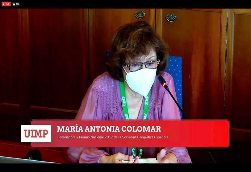
María Antonia Colomar, a prestigious historian and a key figure in the recovery of the Fragata Mercedes by the company Odyssey for the national heritage thanks to her work at the Spanish Geographical Society, took over from Moreno to show a series of highly relevant historical documents and to take a journey through the five stages of the discovery of America around the Laws of the Indies, the legal system enacted by the Spanish monarchs to administer the Hispanic Monarchy territories on the American continent. Colomar emphasised two main themes: the first, the Treaty of Tordesillas (1529) in which Spain and Portugal shared the rights of navigation and conquest of the Atlantic; the second, the Casa de Contratación in Seville, where the Castilian administration promoted navigation.
The corresponding member of the Royal Academy of the Sea and the Academy of Military Arts and Sciences, Alejandro Klecker de Elizalde; the corresponding member and head of the Cartography and Graphic Arts Section of the Library of the Royal Academy of History, Carmen Manso; and finally, the head of the Cartography Service of the National Library of Spain, María del Carmen García Calatayud, made up the first round table and were responsible for presenting the subject of cartography and navigation in the Modern Age.
"Magellan's expedition changed everything. It was the explosion of colour in Europe," said Klecker during his lecture. For the academic, the first circumnavigation of the Earth in history marked a turning point in the development of the old continent on an economic, political and, above all, intellectual level. "After that, we put maps in bookshops," Klecker added. He stressed, however, that the expedition belonged to the crown of Castile, and not to the Spanish-Portuguese crown. "This is all about looking good to everyone...". In addition, Klecker remarked that Spain has "a key strategic double vision", since we are the only European country with an orientation towards Latin America. For Klecker, this means a "Mediterranean-Atlantic double life", which should be an advantage. For the academic, Spain's cartographic heritage could not be understood without the Muslim influence. Some of the contributions of the Mohammedan community in Spain were the crab sail or the codaste rudder.
His talk began with a remark: "If you don't understand the winds, there is no expedition". "This is something that the Portuguese did not know, as they sailed along the coast", he added. The academic concisely reviewed some details of the aforementioned Magellan-Elcano expedition. "It is Elcano who takes the gamble and Magellan who finishes it off," he said. "Magellan was a disaster [as a captain], he passed all of Charles V's instructions under his nose. He was a visionary, but not a leader". Klecker responded to Chilean academic Rodrigo Moreno: "It is impossible for Europe to reach another continent, because there is no technology until centuries later". According to this version, the Vikings would have been incapable of achieving the feat previously pointed out by Moreno himself.
To close the first round table, Carmen Manso and María del Carmen García Calatayud again explained the subject and shared some of the most historically relevant cartographic works, such as the first manuscript map of the American continent made at the beginning of the 16th century by the Spanish navigator and cartographer Juan de la Cosa.
In the second and final round table, Alfredo Alvar Ezquerra, Research Professor at the CSIC and corresponding member of the Royal Academy of History; Jesús Varela Marcos, Professor of American History at the University of Valladolid and founding member of the Tordesillas Centre for Relations with Latin America (CTRI-UVa); and, finally, Jaime Rosenblitt, researcher at the Diego Baros Arana Research Centre of the National Library of Chile, contributed their points of view and knowledge about the geopolitical context of the so-called Great Voyage.
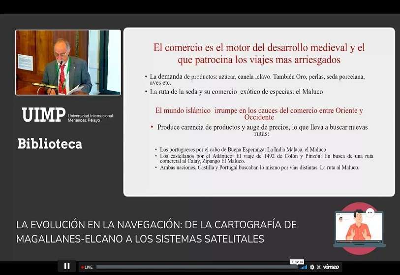
Alvar praised the role of the Chilean bibliographer José Toribio Medina for his historical legacy in generating a large amount of documentation and sources for the study of Chilean history, a recognition shared by his interlocutors. For his part, Varela highlighted the Capitulaciones de Valladolid, a contract issued by King Charles V in 1518 that granted Magellan a monopoly on his route for the next decade, detailed the Castilian organisation of trade after the discovery, and set out his conclusions: "The Magellanic expedition was a consequence of the search for the passage to the Maluco. Its origin was in Juan de la Cosa's letter, which showed the existence of a continent that prevented passage to Asia through the West".
The professor of American History at the University of Valladolid concluded by making a reference to the city hosting the seminar, Santander: "Elcano's voyage around the world and the consequent creation of the Casa de la Contratación in La Coruña opened up the possibility of trade to the northern ports that would be achieved years later with the Bourbons, with Santander being one of the first to benefit from this policy of Free Trade regulations".


