
The recent 25th anniversary of GPS, the great enemy of the coronavirus

The governments of South Korea and Singapore have dramatically slowed the spread of the COVID-19 coronavirus pandemic in their territories by exercising mandatory tight control over their citizens through the use of geolocation applications.
Health services in both countries have been able to dramatically reduce the number of people infected and killed by taking advantage of the capabilities of the GPS satellite constellation to track the exact location of their populations and their movements through electronic devices.
Considered by the two Asian nations as a "key tool" to mitigate the spread of the pandemic among the 52 million Koreans and the nearly 6 million people in Singapore, as of May 2, South Korea recognizes 10,780 infected people and Singapore 17,548.

These results are due to the extensive use of the satellites that make up the Global Positioning System (GPS), which has just blown out its 25th birthday candles, providing a great service to governments that have wanted and been able to take advantage of the possibilities it offers.
Like the Internet, the origin of GPS is to be found in the military. Specifically, in the Pentagon's need to fire its missiles with maximum precision and to know in detail the exact position anywhere in the world of its aircraft, surface ships, submarines and military land units and guide them to their targets.

The longed-for dream of having a network of satellites covering the entire Earth became a reality on 27 April 1995, when a total of 24 space assets had been available since February 1978. It was then that General John Gordon of the United States Air Force (USAF) credited the GPS space network with having reached its "full operational capability", marking the system's official entry into service, although the Pentagon did not make the information public until three months later.
But the GPS system went into action much earlier. When all the satellites in the constellation were not yet in orbit in 1990, then US President George Bush authorized their use.

As far as possible, the GPS network was to provide positioning service to the military units of the allied coalition under the command of Lieutenant General Norman Schwarzkopf taking part in Operation Desert Shield, the reaction to the invasion of Kuwait by Saddam Hussein's troops from Iraq.
Although with serious limitations, GPS signals contributed to the success of the subsequent Operation Desert Storm, in which allied ground units had to move, fire and fight in the desert sands without ground reference points.
Also known as the Navigation System Using Synchronization and Range (NAVSTAR), the current GPS constellation consists of 31 satellites. Its software is continuously updated to be hacker resistant and to maintain the integrity of its positioning, navigation and synchronization signals anywhere in the world.

The secret work to make the architecture of the GPS system a reality was given the green light by President Richard Nixon and his Secretary of Defense, James Schlesinger, in late 1973. These were bad times for Nixon, who was in the midst of a scandal over the Watergate affair, which a year later would lead to his resignation and the access to power of his vice president, Gerald Ford, who ratified the continuation of the program.
In its dimension of greater precision, robustness and reliability, the GPS signal was for the exclusive use of the US Armed Forces, although from 1983 its use in the commercial sphere was made possible with certain limitations. But now, 20 years ago, exactly on the first of May 2000, the widespread use of GPS took a giant leap forward.
The then US President Bill Clinton ordered the elimination of the so-called "selective availability" signal, which prevented free access to the signal, thus facilitating its initial use by telecommunications companies, land and sea transport and individuals.
GPS is a free service provided by the U.S. Armed Forces "to improve daily life around the world," says General DeAnna Burt, director of operations and communications for the Space Force.

Knowing precisely where we are, the possible routes to reach our destination, the places of interest around us and especially being able to stay away from coronavirus outbreaks or infected people is now within reach of more than 4 billion people worldwide, according to estimates by the Trump Administration, something that just a few decades ago was not even possible to imagine.
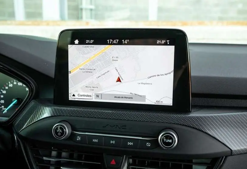
Satellite navigation and positioning systems have become "musts" for everyday personal and professional life. So much so that, like water, electricity, gas and telecommunications, these systems have been classified as "essential services".
Around 50,000 different applications of satellite navigation cover all sectors of the economy, from transport in all its aspects to energy, tourism, agriculture, fishing, livestock, engineering, telecommunications, environmental monitoring, financial banking systems, disaster relief management and, of course, industry 4.0.

The Trump administration estimates that 4 billion people use GPS signals and studies by Brussels estimate that the global market for navigation products and services will reach EUR 250 billion by 2030. They also estimate that their impact on the European Union's Gross Domestic Product will be more than 10%. For the moment, its annual economic value reaches 80,000 million in the United States alone.
Brussels has been no stranger to such market prospects and in cooperation with the European Space Agency (ESA) launched the Galileo project in 2003. One of the main people responsible for its development was the Spanish engineer Javier Ventura-Traveset, currently a senior official at the European Space Astronomy Centre (ESAC) located near Madrid. The constellation of European satellites is not complete, but it is already operational and its receiver chips are installed in the vast majority of mobile phones and new production cars.
No one wants to go into the serious competition that exists between the two positioning systems. Galileo has emerged to ensure European independence from the United States in geolocation, as well as to be under the mantle of the civil authorities in Brussels. In contrast, GPS remains under military command. Both in terms of precision - which is in centimetres - and in terms of robustness and cyber security measures, European performance is superior to that of the Americans. Nevertheless, the United States already has the first two satellites of the improved version GPS III in orbit, which, according to experts in the field, has capacities similar to Galileo.


